www.CapTechU.edu
Think of all of the times you’ve used your phone or computer today. How many apps have you logged in to? Have you checked Facebook, Twitter, Instagram, Reddit, or Linked-In? Do you regularly use Amazon, YouTube, Tinder, Buzzfeed, or Pinterest?
Every one of those apps, stores or websites that many of us use on a daily basis, collect user data to improve user experience and help companies to make educated business decisions.
"Information is the oil of the 21st century, and analytics is the combustion engine" says Peter Sondergaard, Senior Vice President, Gartner Research. And when we think about how companies use data or “big data” to build a way forward, we often think of businesses and how they will use information to allocate funds.
But that’s not all data can help us do.
Data analytics can be used to improve sports performance, to help us to better understand and build cures for disease, to aid in the development of artificial intelligence, to improve infrastructure in your city, and to expand the reach of what science can do.
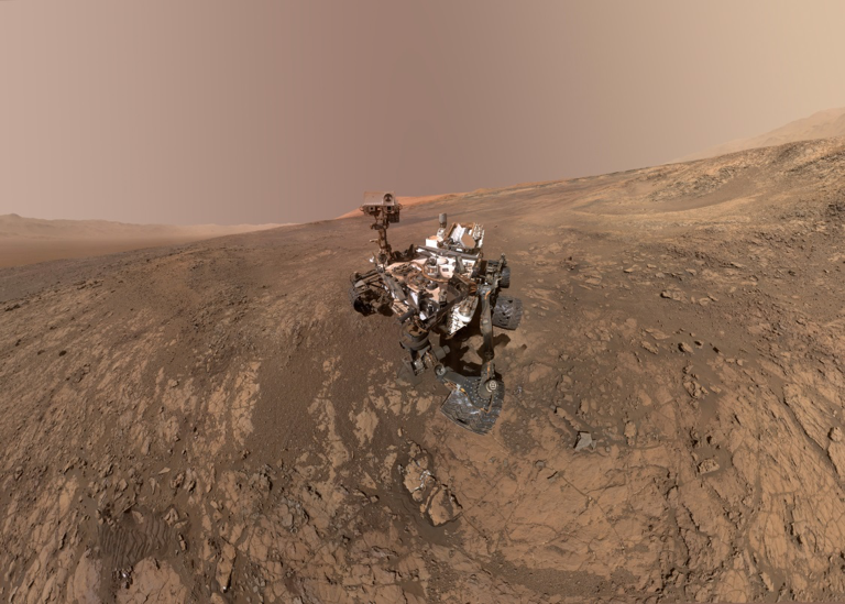
NASA has recently used data they’ve gathered over years of exploration to launch an amazing interactive map of Mars. Called, “Mars Trek,” the map is an educational tool NASA has available to the public as part of their Mars Exploration Program.

These “missions” which have supplied the majority of the data for the map to date are specifically the MSL (Mars Science Laboratory) mission, which involved the Curiosity Rover, the MER (Mars Exploration Rovers) mission, which included Spirit and Opportunity, the Phoenix mission, and the Pathfinder mission. NASA plans to continue to update the map as new data becomes available.

Take a moment to think about the power of this data. Humans now have an accurate 2D and 3D enabled map of another planet upon which no human has ever actually set foot. You can use this tool NASA has created using data to print 3D renderings of the planet. We have entered a world where teachers can actually hand their students a Mars shaped-ball to touch and interact with.
Think of all the future scientists that will find their passion thanks to this use of data by NASA. Data isn’t just shaping the way our businesses run, it is shaping our lives.
Are you interested in learning more about the uses of data? Check out our business analytics and data science programs here.
No comments:
Post a Comment